Skip to main content
Search the Site
Add/update a listing
Contact us
News & Events
News & Events in Spondon
Spondon on Facebook
Spondon on X / Twitter
Spondon on Instagram
Businesses
A-Z by Business Name
Businesses by Category
Add/update your business
Groups & Organisations
Groups, Clubs and Societies
Sports & Fitness Clubs
Churches
Spondon Community Association
Village Improvement Committee
Safer Neighbourhood Team
Web links
Local Info
Spondon Councillors and MP
Spondon Village Hall
Pubs and Clubs
Schools
Bus and train times
Hotels and accommodation
Healthcare Services
Maps of Spondon
History
A Brief History of Spondon
Locko Hall and Park
Spondon War Heroes
The Homestead
Spondon History Trail
Spondon Archive books
Spondon Historical Society
Memories of Spondon
Local History Weblinks
Photos
Modern Day (2010+)
General Views of Spondon
Historic Buildings and Landmarks
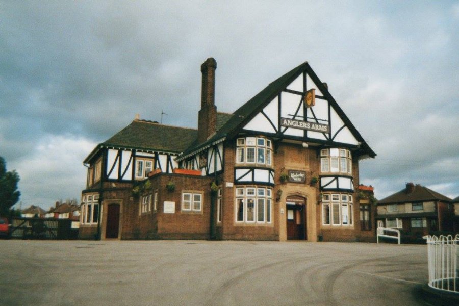
Pubs and Clubs
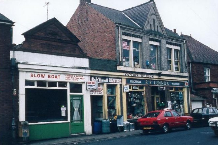
Shops and Businesses
St Werburgh's Church
Spondon Methodist Church
War Memorial & Remembrance
Open Spaces
Sensory Garden
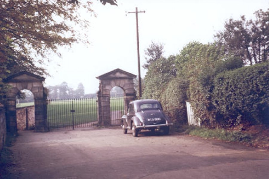
Locko Park and Hall
Spondon Cricket Club
Spondon in the Snow
2000-2010
1980s-1990s
1950s-1970s
1920s-1940s
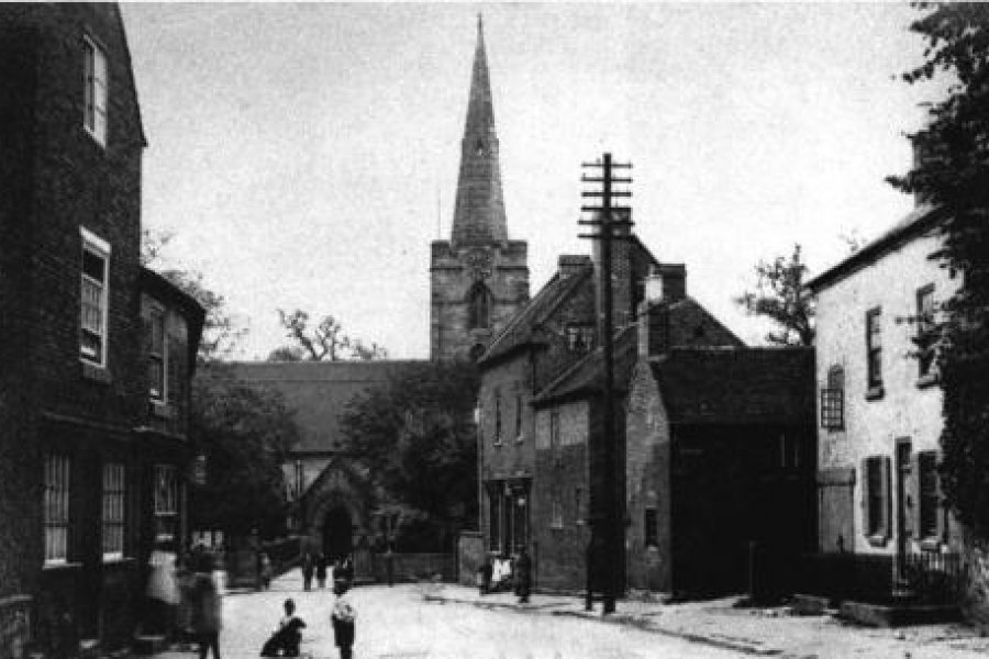
1910s and earlier
Facebook Albums
Photo Gallery
Photo Galleries
Take a photographic look around Spondon, past and present, in our various photo galleries.
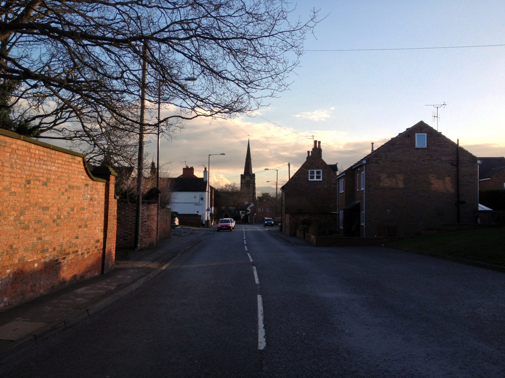
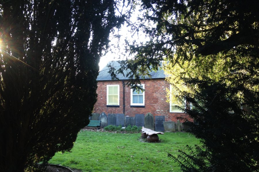
General Views of Spondon
Modern day shots of views and streets around Spondon (from 2010 onwards) plus any other photos that basically don't fit into any of the other gallery categories.
Historic Spondon Buildings and Landmarks
Modern day photographs of Spondon's many historic buildings and landmarks.
Spondon Pubs and Clubs
Take a photographic tour around Spondon's many and varied watering holes!
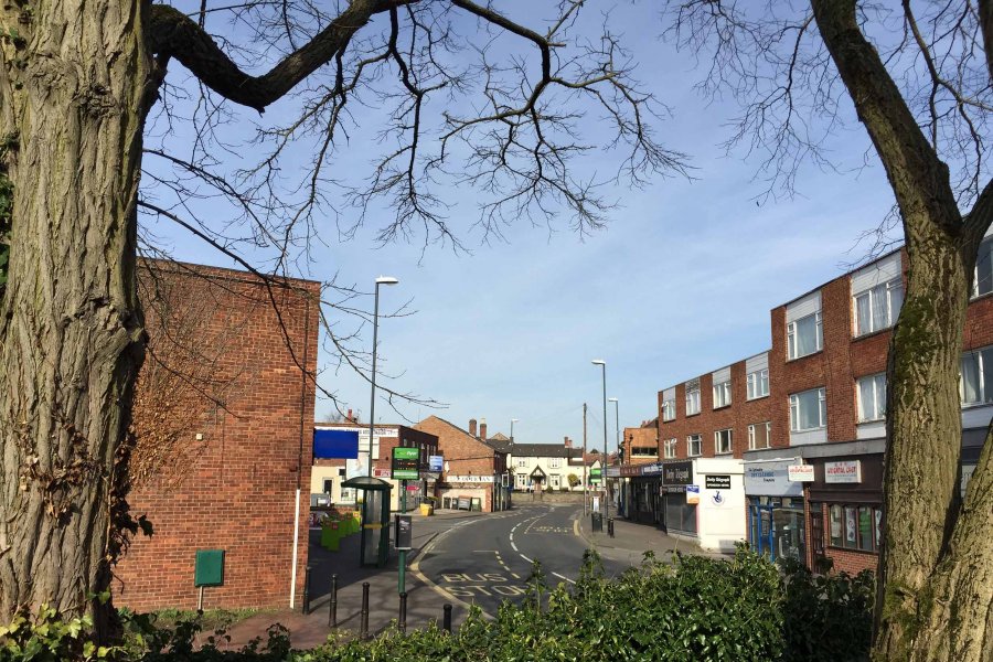
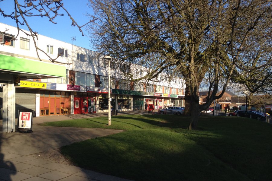
Spondon Shops and Businesses
Modern day views of Spondon's main shopping areas and other business premises.
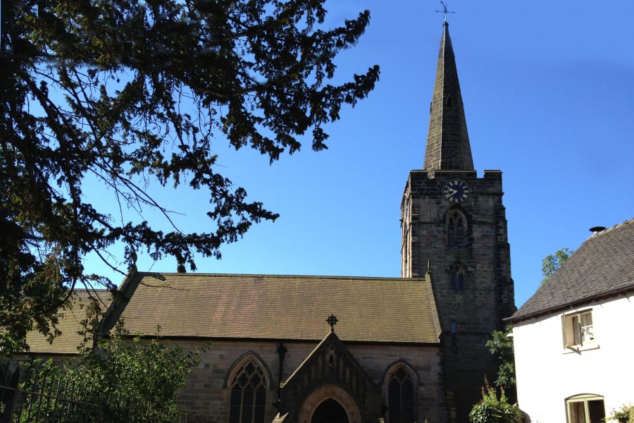
St Werburgh's Church
Spondon's St Werburgh's Church dates back to the 14th Century and is a prominent sight of the Spondon skyline.
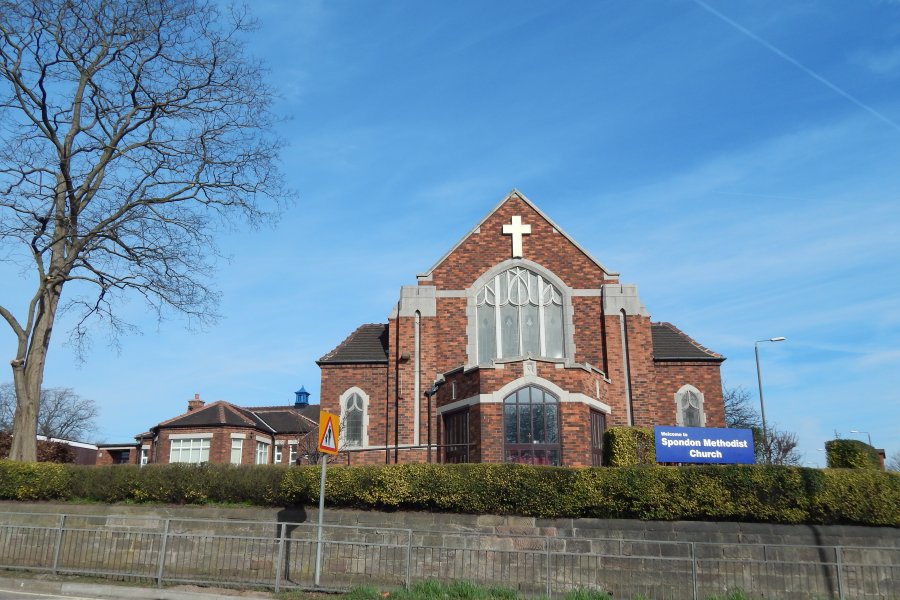
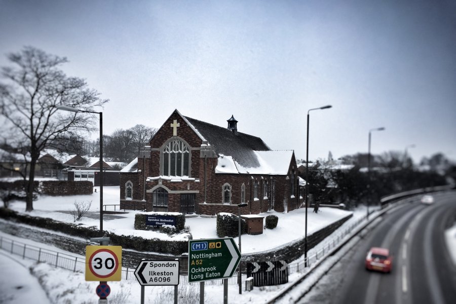
Spondon Methodist Church
Spondon Methodist Church is a familiar Spondon landmark, standing at the entrance to the village from the A52,
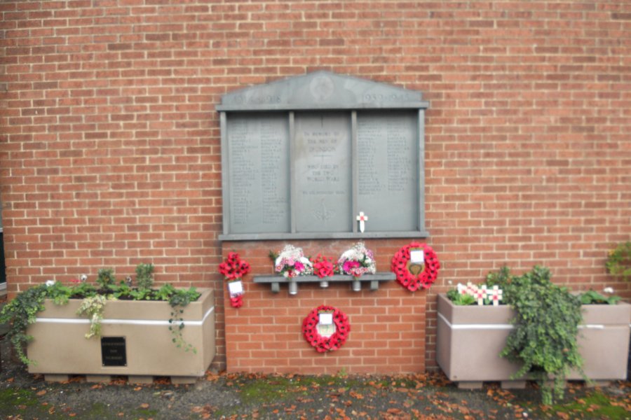
Spondon War Memorial
Images of Spondon War Memorial and past Remembrance Day commemorations in the village
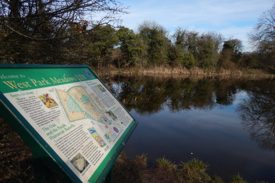
Open Spaces
Views across some of the many green and open spaces that we're lucky enough to enjoy in and around Spondon.
Sensory Garden
Spondon's Sensory Garden on Chapel Street is full of flowers, trees, plants and nature and is a peaceful haven in the heart of the village centre.
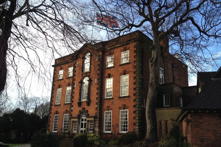
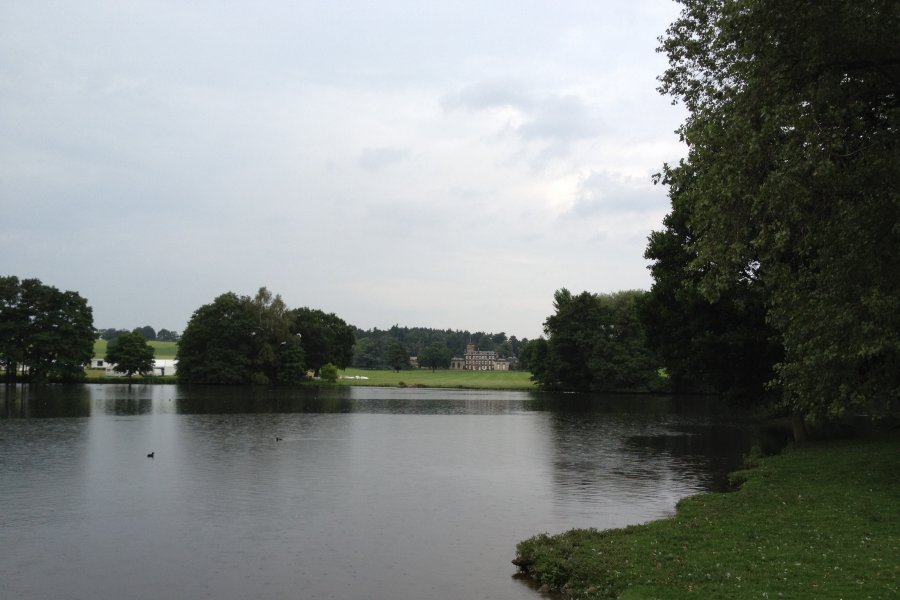
Locko Park and Hall
The spectacular 18th-century country house and estate on the outskirts of Spondon.
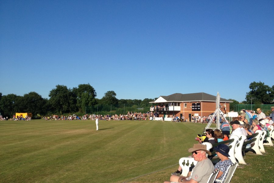
Spondon Cricket Club
The Locko Road home of Spondon Cricket Club on the edge of Spondon.
Spondon in the Snow
Snowy Spondon scenes from across the years.
Spondon in the 2000s
Views around Spondon from between 2000 and 2010
Spondon in the 1980s-1990s
A look back at Spondon in the 1980s and 1990s
Spondon in the 1950s-1970s
Photos of Spondon from the 1950s to 1970s
Spondon in the 1920s-1940s
Vintage images of Spondon between the 1920s and 1940s.
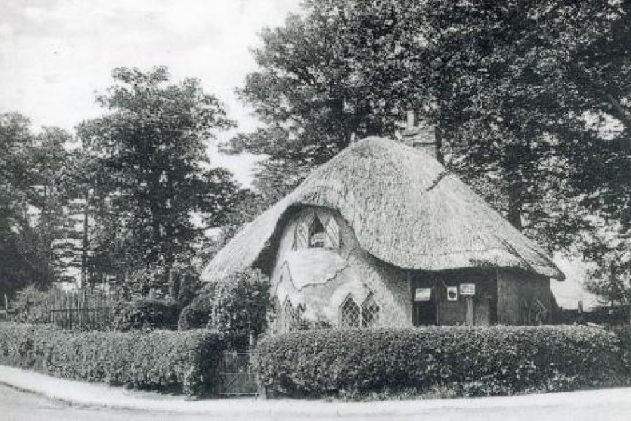
Spondon in the 1910s and earlier
Views of Spondon from around the turn of the 20th Century